Trends.Earth

A new tool to assess the health of the land that supports us


Food Security. Climate Change. Land Health.​

By 2050, the global population is expected to surpass 9 billion people. Will the land be able to feed us all? Understanding the health of Earth's lands has never been more critical.


How to restore and sustain the land that sustains us?

Trends.Earth is an online platform that monitors "land degradation" — the reduction or loss of the biological or economic productivity of land. Using Earth observation (EO) satellite imagery and global data, Trends.Earth can identify degraded areas and help decision-makers improve them. Piloted in four African countries, the tool can now be used anywhere in the world.

The U.N. Sustainable Development Goals aim to achieve "land-degradation neutrality" — where the quality of land resources remains stable or increases — by 2030. Trends.Earth can support countries in achieving land-degradation neutrality. Without it, our future is not sustainable.


How Does Trends.Earth Work?

Trends.Earth offers data and tools to inform land management decisions. The platform uses cloud computing to process massive Earth observation satellite images into usable information, assessing land trends through three indicators: land productivity, land cover and soil carbon.
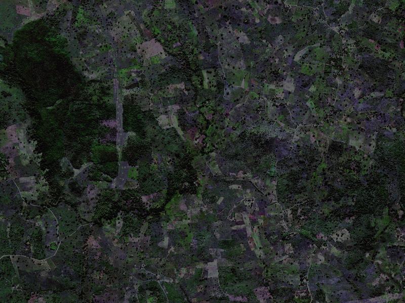
Land productivity
The biological productive capacity of the land
Land cover
The physical material covering the Earth's surface — from trees and sand to water and asphalt
Soil carbon
The amount of carbon in organic matter (plants and living things) — stored in the soil

Data Availability and Feasibility

Trends.Earth analyzes multiple global satellite datasets and can incorporate national-level data where available. It then integrates them into a user-friendly interface. Trends.Earth also standardizes how land degradation is measured, as well as analysis of data, in support of reporting to the United Nations Convention to Combat Desertification (UNCCD) or the Global Environment Facility (GEF).

 
Patricia Alvarez enters data at Cocha Cashu.
© Benjamin Drummond

Who can use Trends.Earth?

Anyone can use Trends.Earth and access its data, from donors and policymakers to the general public.

International organizations, government agencies and researchers are already using the tool to address specific questions related to land degradation neutrality and food security. Access to Trends.Earth is completely free and exists on an open-source platform, which allows users to redistribute and modify the software for personal use.

VISIT TRENDS.EARTH
 
Bob Scholes and Dino Martins prepare samples for a plant press.  
© Benjamin Drummond

Assess land on all scales

The platform was created through a partnership between Lund University, NASA and Conservation International’s Vital Signs program.

Funding for Trends.Earth was provided by the Global Environment Facility.