
Conservation International: An Agency of the Global Environment Facility.
As an agency of the Global Environment Facility, Conservation International disburses funding for global conservation and sustainable development initiatives.
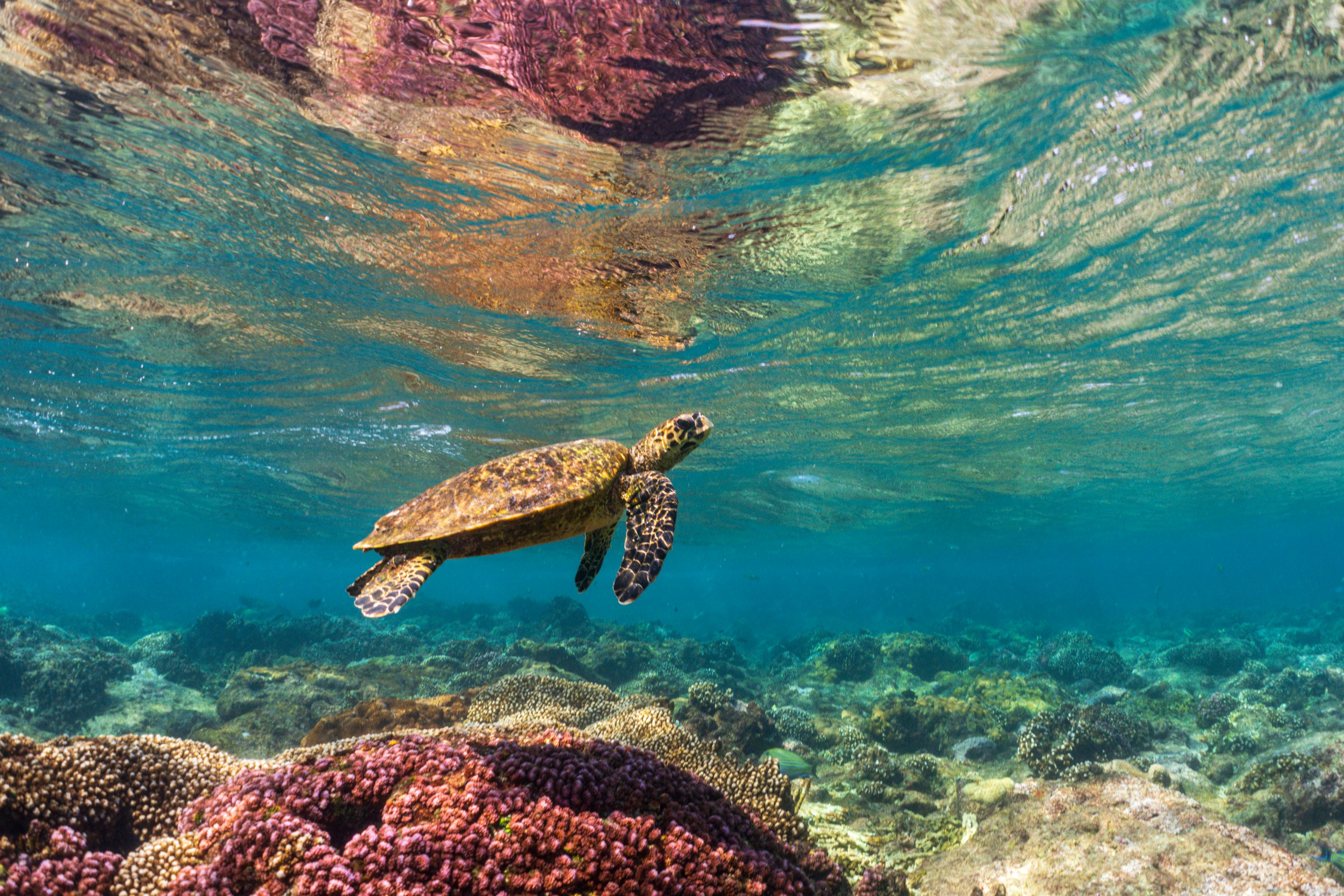
Much like Conservation International, the Global Environment Facility (GEF) believes that every person on Earth deserves a healthy environment and the fundamental benefits that nature provides. Since its inception in 1991, the GEF has improved the lives of billions of people while creating conditions for sustainable development. By investing in the planet, the GEF is investing in the human capital of this generation — and of generations to come.
Bringing together 186 countries in partnership with international institutions, civil society organizations and the private sector, the GEF is the largest public funder of projects to improve the global environment. The GEF channels funding through GEF agencies, which are responsible for assisting eligible governments and nonprofit organizations in the development, implementation and management of GEF projects.
Our role
In November 2013, Conservation International became one of the first nonprofit organizations to be accredited as a GEF Project Agency. As such, Conservation International directly works with national governments around the world to identify and design projects and advise on project execution, making sure that projects meet high technical and financial standards, while complying with the GEF’s environmental and social safeguards.
Our plan
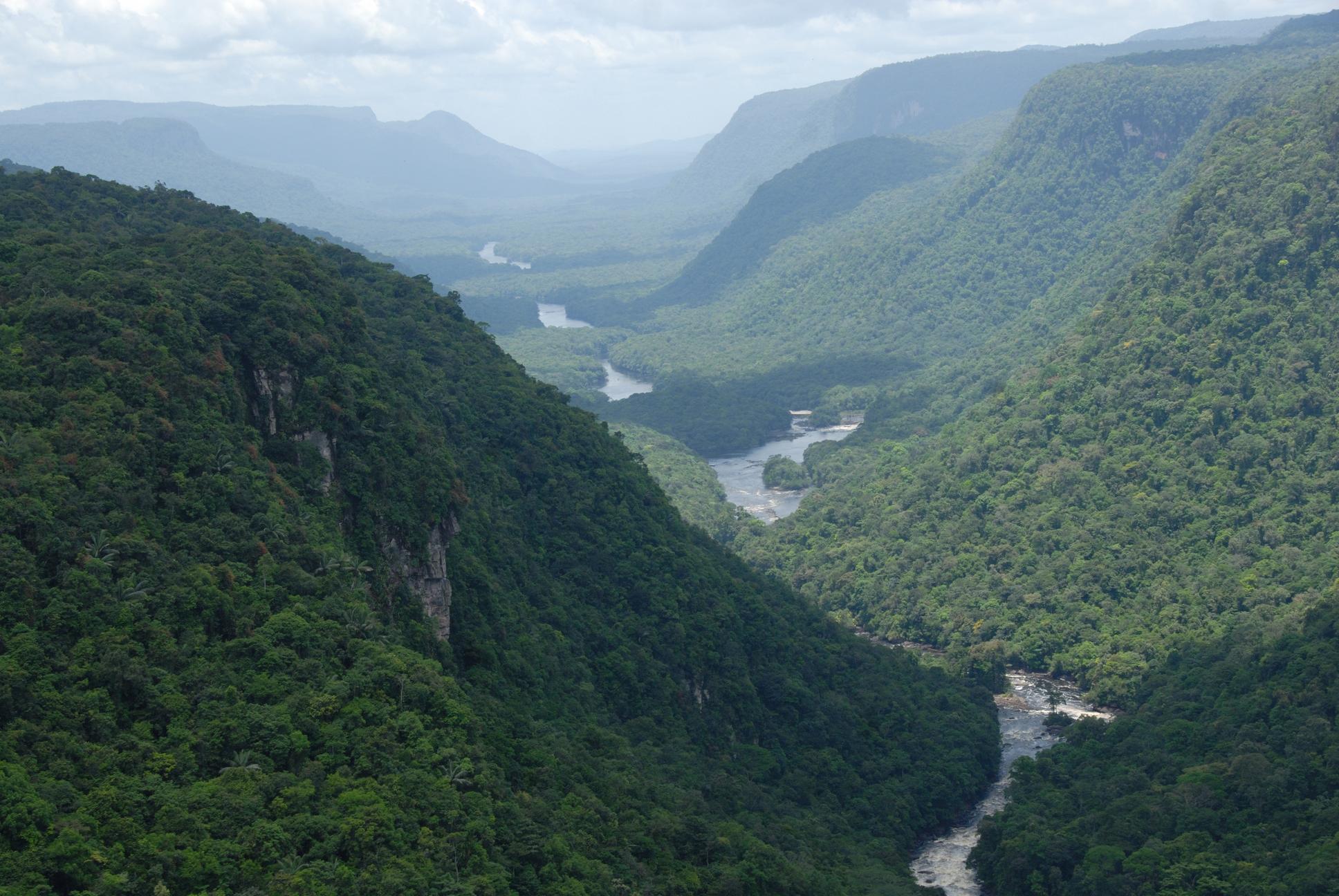
Conservation International is committed to working with all governments and engaging with all sectors in society to achieve our ultimate goal of improved human well-being, particularly focusing on the essential services that nature provides such as fresh water, food, health, livelihoods and climate resilience.
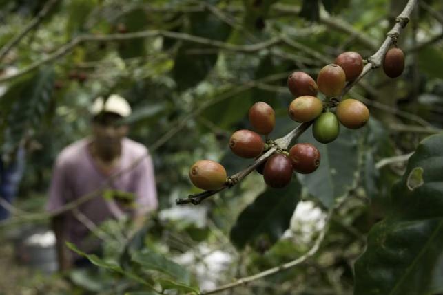
We will leverage our experience in innovative finance and community-based solutions as well as our network of corporate, multilateral, nonprofit, and national and local government partnerships to implement effective and relevant programs.
Our projects
Explore our current portfolio of projects and learn how we work with local stakeholders to improve the environment and their livelihoods.